client
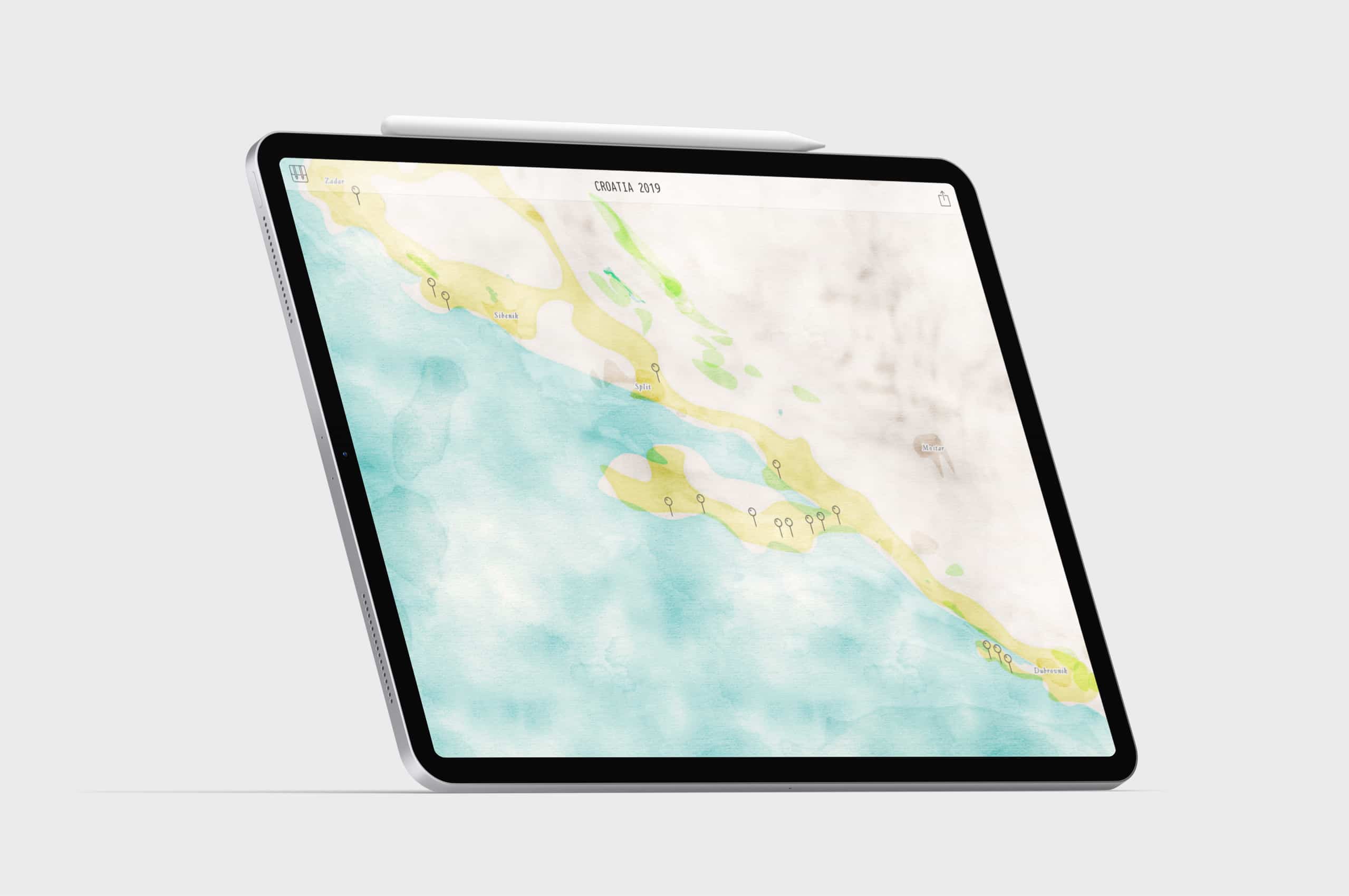
Internal research project to find a new aesthetic for visualizing travels based on GPS data. A cartogram deforms an automatically generated map with a watercolour-style.
Team
Sebastian Lühr (Sadowski)
Release
October 2018
Interested?
insight
Cartogram with a watercolor map
Geo-coordinates of a route deform an automatically generated map to a cartogram: Places where the user has been for a longer or more often time appear larger than other places. Therefore, the cartogram tries to re-generate a mental map the user might have from the trip.
rapid prototyping
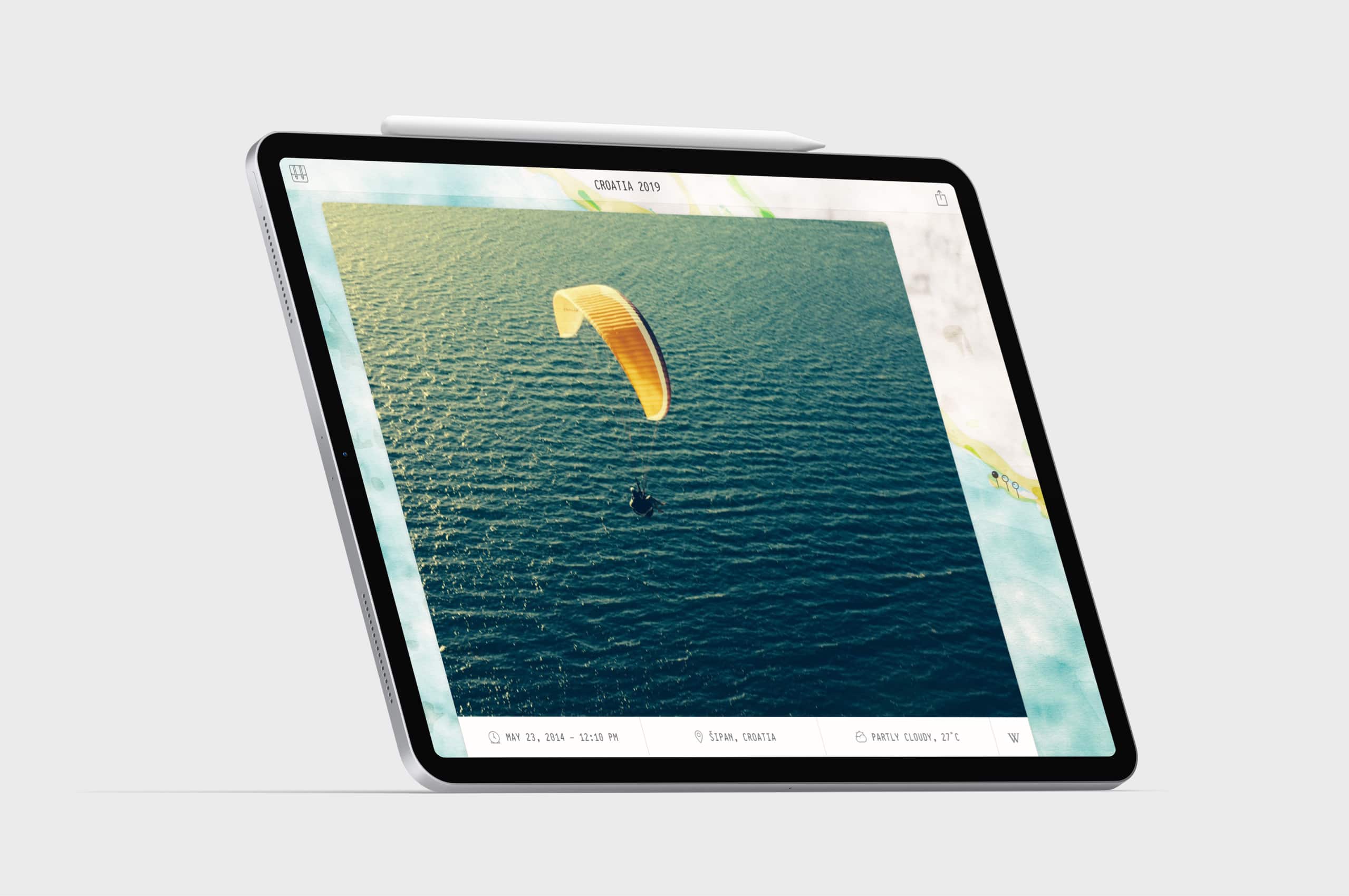
Explore your trip and pictures with a digital device.
We developed a prototype to upload a GPS route (yellow line) and GPS-tagged pictures (markers) which will automatically create a unique watercolour map. Tapping on a marker, the user gets more information about a photo taken on a specific place.
Get a poster of your latest trip.
Get in touch to discuss what we could do for you.
© DataDesign Studio 2022. . All rights reserved.
For company information and other legal bits, see our legal page and Privacy Policy.


